Waters' Edge Park, Barton-Upon-Humber
Introduction
The photograph on this page of Waters' Edge Park, Barton-Upon-Humber by Pauline E as part of the Geograph project.
The Geograph project started in 2005 with the aim of publishing, organising and preserving representative images for every square kilometre of Great Britain, Ireland and the Isle of Man.

There are currently over 7.5m images from over 14,400 individuals and you can help contribute to the project by visiting https://www.geograph.org.uk
Waters' Edge Park, Barton-Upon-Humber
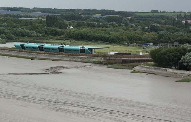
Image: © Pauline E Taken: 14 Sep 2012
Waters' Edge Country Park covers 86 acres of the south bank of the River Humber. This shows the visitor centre from the Humber Bridge.
Images are licensed for reuse under creativecommons.org/licenses/by-sa/2.0
Image Location
Latitude
53.697016
Longitude
-0.442032