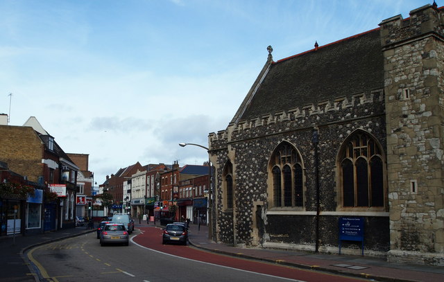
Dartford, DA1 - Parish Church Vicinity
Introduction
The photograph on this page of Dartford, DA1 - Parish Church Vicinity by David Hallam-Jones as part of the Geograph project.
The Geograph project started in 2005 with the aim of publishing, organising and preserving representative images for every square kilometre of Great Britain, Ireland and the Isle of Man.
There are currently over 7.5m images from over 14,400 individuals and you can help contribute to the project by visiting https://www.geograph.org.uk

Image: © David Hallam-Jones Taken: 30 Sep 2012
London-bound traffic using the A226 road passes Holy Trinity Church here and is then obliged to bear left as a result of the pedestrianisation of the original High Street ahead. This shot was taken from the "Bridge House" area at the point where traffic wishing to enter Arcacia Hall - the former Burroughs Wellcome Chemical Company social club - turns off to the left at the bottom left of this picture.

