Footpath in Impton Woods, Walderslade
Introduction
The photograph on this page of Footpath in Impton Woods, Walderslade by David Anstiss as part of the Geograph project.
The Geograph project started in 2005 with the aim of publishing, organising and preserving representative images for every square kilometre of Great Britain, Ireland and the Isle of Man.

There are currently over 7.5m images from over 14,400 individuals and you can help contribute to the project by visiting https://www.geograph.org.uk
Footpath in Impton Woods, Walderslade
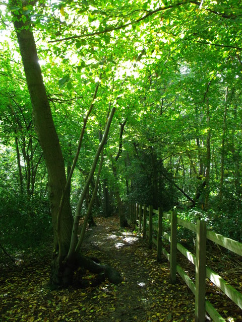
Image: © David Anstiss Taken: 14 Oct 2012
This path leads from the A2045 Walderslade Woods (road) leading to Robin Hood Lane (Upper) near Blue Bell village. On the right, the fence is beside the embankment beside the M2.
Images are licensed for reuse under creativecommons.org/licenses/by-sa/2.0
Image Location
Latitude
51.330519
Longitude
0.515155