Robin Hood Lane (lower)
Introduction
The photograph on this page of Robin Hood Lane (lower) by David Anstiss as part of the Geograph project.
The Geograph project started in 2005 with the aim of publishing, organising and preserving representative images for every square kilometre of Great Britain, Ireland and the Isle of Man.

There are currently over 7.5m images from over 14,400 individuals and you can help contribute to the project by visiting https://www.geograph.org.uk
Robin Hood Lane (lower)
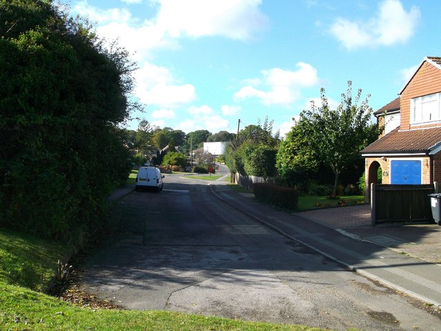
Image: © David Anstiss Taken: 14 Oct 2012
This road leads from Fostington Way towards the A2045 Walderslade Woods (road). The road junction (between the Way and the lane) was moved further up the Way to create a safer junction. This section is left as a small close of houses.
Images are licensed for reuse under creativecommons.org/licenses/by-sa/2.0
Image Location
Latitude
51.335715
Longitude
0.520321