Homestead Close
Introduction
The photograph on this page of Homestead Close by Bob Embleton as part of the Geograph project.
The Geograph project started in 2005 with the aim of publishing, organising and preserving representative images for every square kilometre of Great Britain, Ireland and the Isle of Man.

There are currently over 7.5m images from over 14,400 individuals and you can help contribute to the project by visiting https://www.geograph.org.uk
Homestead Close
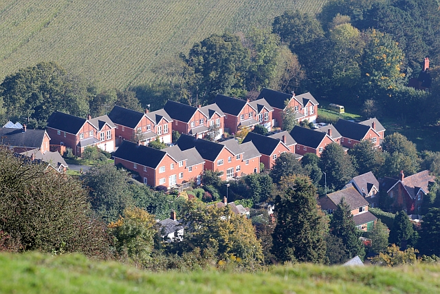
Image: © Bob Embleton Taken: 14 Oct 2012
A fairly new development cramming 14 or so detached houses in part of the garden of the Homestead. Viewed from Black Hill.
Images are licensed for reuse under creativecommons.org/licenses/by-sa/2.0
Image Location
Latitude
52.070323
Longitude
-2.330978