Footpath crosses Jacklin Close,
Introduction
The photograph on this page of Footpath crosses Jacklin Close, by David Anstiss as part of the Geograph project.
The Geograph project started in 2005 with the aim of publishing, organising and preserving representative images for every square kilometre of Great Britain, Ireland and the Isle of Man.

There are currently over 7.5m images from over 14,400 individuals and you can help contribute to the project by visiting https://www.geograph.org.uk
Footpath crosses Jacklin Close,
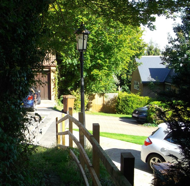
Image: © David Anstiss Taken: 14 Oct 2012
This path leads from Robin Hood Lane (lower) to Walderslade Village By-pass, via Walderslade Bottom Wood.
Images are licensed for reuse under creativecommons.org/licenses/by-sa/2.0
Image Location
Latitude
51.337995
Longitude
0.523031