Footpath to Heron Way, Princes Park
Introduction
The photograph on this page of Footpath to Heron Way, Princes Park by David Anstiss as part of the Geograph project.
The Geograph project started in 2005 with the aim of publishing, organising and preserving representative images for every square kilometre of Great Britain, Ireland and the Isle of Man.

There are currently over 7.5m images from over 14,400 individuals and you can help contribute to the project by visiting https://www.geograph.org.uk
Footpath to Heron Way, Princes Park
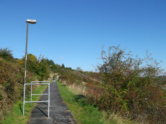
Image: © David Anstiss Taken: 14 Oct 2012
This long scrubland path leads up from Image on Swallow Rise, towards a road on top of the valleyside.
Images are licensed for reuse under creativecommons.org/licenses/by-sa/2.0
Image Location
Latitude
51.354405
Longitude
0.533556