The Hazels, Fetcham: woodland
Introduction
The photograph on this page of The Hazels, Fetcham: woodland by Stefan Czapski as part of the Geograph project.
The Geograph project started in 2005 with the aim of publishing, organising and preserving representative images for every square kilometre of Great Britain, Ireland and the Isle of Man.

There are currently over 7.5m images from over 14,400 individuals and you can help contribute to the project by visiting https://www.geograph.org.uk
The Hazels, Fetcham: woodland
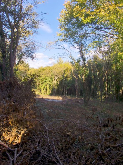
Image: © Stefan Czapski Taken: 14 Oct 2012
Much of the woodland is indeed hazel, with a certain number of oaks and rather more beeches. All the hazels seem to have been coppiced in the past, if not in recent years. Here, coppicing has been done quite recently, in an area which was in any case rather sparsely wooded. The intention may well be to re-instate coppicing in a neglected area.
Images are licensed for reuse under creativecommons.org/licenses/by-sa/2.0
Image Location
Latitude
51.278937
Longitude
-0.351874