Part of the Sirhowy Valley north of Blackwood
Introduction
The photograph on this page of Part of the Sirhowy Valley north of Blackwood by Jeremy Bolwell as part of the Geograph project.
The Geograph project started in 2005 with the aim of publishing, organising and preserving representative images for every square kilometre of Great Britain, Ireland and the Isle of Man.

There are currently over 7.5m images from over 14,400 individuals and you can help contribute to the project by visiting https://www.geograph.org.uk
Part of the Sirhowy Valley north of Blackwood
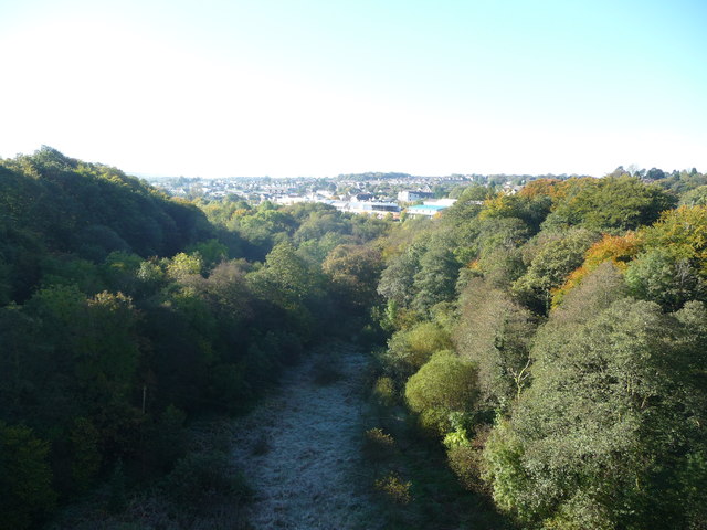
Image: © Jeremy Bolwell Taken: 14 Oct 2012
View southwards from the Chartist Bridge. Blackwood Miners' Institute is visible.
Images are licensed for reuse under creativecommons.org/licenses/by-sa/2.0
Image Location
Latitude
51.67319
Longitude
-3.191416