Heywood: View from the railway
Introduction
The photograph on this page of Heywood: View from the railway by Dr Neil Clifton as part of the Geograph project.
The Geograph project started in 2005 with the aim of publishing, organising and preserving representative images for every square kilometre of Great Britain, Ireland and the Isle of Man.

There are currently over 7.5m images from over 14,400 individuals and you can help contribute to the project by visiting https://www.geograph.org.uk
Heywood: View from the railway
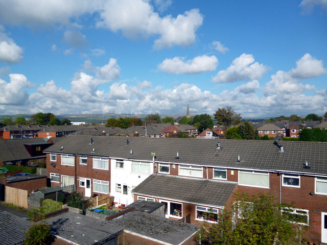
Image: © Dr Neil Clifton Taken: 14 Oct 2012
In the distance is visible the spire of St. Luke's Parish Church. And is the very far distance the turbines of the Scout Moor wind farm are seen.
Images are licensed for reuse under creativecommons.org/licenses/by-sa/2.0
Image Location
Latitude
53.593126
Longitude
-2.218578