Sheep grazing near Callestick Vean
Introduction
The photograph on this page of Sheep grazing near Callestick Vean by Sheila Russell as part of the Geograph project.
The Geograph project started in 2005 with the aim of publishing, organising and preserving representative images for every square kilometre of Great Britain, Ireland and the Isle of Man.

There are currently over 7.5m images from over 14,400 individuals and you can help contribute to the project by visiting https://www.geograph.org.uk
Sheep grazing near Callestick Vean
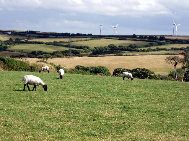
Image: © Sheila Russell Taken: 29 Jul 2005
Taken looking south east. The wind farm on the horizon is just the far side of the A30 at Garvinack.
Images are licensed for reuse under creativecommons.org/licenses/by-sa/2.0
Image Location


Leaflet Map data © OpenStreetMap
Latitude
50.302998
Longitude
-5.139902