Track north east to Oak Tree Farm from Upper Wyke
Introduction
The photograph on this page of Track north east to Oak Tree Farm from Upper Wyke by Roger Thomas as part of the Geograph project.
The Geograph project started in 2005 with the aim of publishing, organising and preserving representative images for every square kilometre of Great Britain, Ireland and the Isle of Man.

There are currently over 7.5m images from over 14,400 individuals and you can help contribute to the project by visiting https://www.geograph.org.uk
Track north east to Oak Tree Farm from Upper Wyke
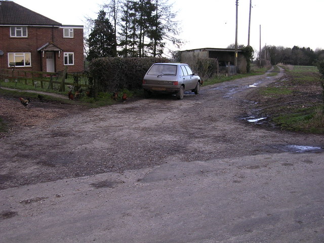
Image: © Roger Thomas Taken: 21 Jan 2007
The building on the left is marked on the OS map. My paper map shows a telephone box on this corner, but it has been removed quite recently as I live near here and I expected to find it still at this position.
Images are licensed for reuse under creativecommons.org/licenses/by-sa/2.0
Image Location
Latitude
51.252156
Longitude
-1.422937