Former RAF Ouston from the air
Introduction
The photograph on this page of Former RAF Ouston from the air by Thomas Nugent as part of the Geograph project.
The Geograph project started in 2005 with the aim of publishing, organising and preserving representative images for every square kilometre of Great Britain, Ireland and the Isle of Man.

There are currently over 7.5m images from over 14,400 individuals and you can help contribute to the project by visiting https://www.geograph.org.uk
Former RAF Ouston from the air
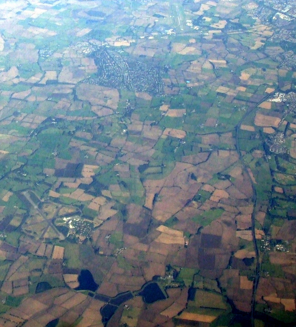
Image: © Thomas Nugent Taken: 8 Oct 2012
The airfield is now known as Albemarle Barracks and is home to the 39th Regiment Royal Artillery. Newcastle Airport can be seen to the top right. Here is a http://en.wikipedia.org/wiki/RAF_Ouston to the wikipedia article about RAF Ouston.
Images are licensed for reuse under creativecommons.org/licenses/by-sa/2.0
Image Location
Latitude
55.019988
Longitude
-1.884234