Annandale from near Lochmaben
Introduction
The photograph on this page of Annandale from near Lochmaben by M J Richardson as part of the Geograph project.
The Geograph project started in 2005 with the aim of publishing, organising and preserving representative images for every square kilometre of Great Britain, Ireland and the Isle of Man.

There are currently over 7.5m images from over 14,400 individuals and you can help contribute to the project by visiting https://www.geograph.org.uk
Annandale from near Lochmaben
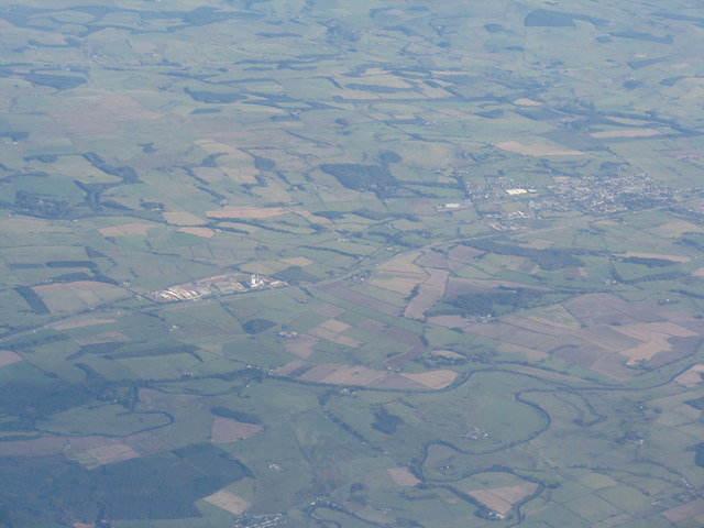
Image: © M J Richardson Taken: 9 Oct 2012
The confluence of the River Annan and Water of Ae, with the A74[M] passing Steven's Croft Power Station on the left Image and Lockerbie to the right.
Images are licensed for reuse under creativecommons.org/licenses/by-sa/2.0
Image Location
Latitude
55.133518
Longitude
-3.381808