Flight of steps, Seven Kings
Introduction
The photograph on this page of Flight of steps, Seven Kings by Robin Webster as part of the Geograph project.
The Geograph project started in 2005 with the aim of publishing, organising and preserving representative images for every square kilometre of Great Britain, Ireland and the Isle of Man.

There are currently over 7.5m images from over 14,400 individuals and you can help contribute to the project by visiting https://www.geograph.org.uk
Flight of steps, Seven Kings
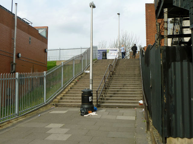
Image: © Robin Webster Taken: 2 Apr 2011
Connecting Salisbury Road with the High Road, these are not because of any steep natural relief, but because the High Road has been built up to bridge the railway.
Images are licensed for reuse under creativecommons.org/licenses/by-sa/2.0
Image Location
Latitude
51.563574
Longitude
0.097152