Manchester Road - Audenshaw/Ashton-under-Lyne Boundary
Introduction
The photograph on this page of Manchester Road - Audenshaw/Ashton-under-Lyne Boundary by John Topping as part of the Geograph project.
The Geograph project started in 2005 with the aim of publishing, organising and preserving representative images for every square kilometre of Great Britain, Ireland and the Isle of Man.

There are currently over 7.5m images from over 14,400 individuals and you can help contribute to the project by visiting https://www.geograph.org.uk
Manchester Road - Audenshaw/Ashton-under-Lyne Boundary
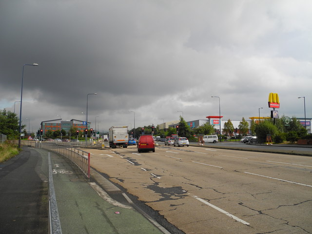
Image: © John Topping Taken: 4 Oct 2012
Looking east towards Ashton, with Lord Sheldon Way (left) and Snipe Way on the right leading to the Snipe Retail Park (SJ9197).
Images are licensed for reuse under creativecommons.org/licenses/by-sa/2.0
Image Location
Latitude
53.479379
Longitude
-2.124572