Former mill chimney, Muckamore (1)
Introduction
The photograph on this page of Former mill chimney, Muckamore (1) by Albert Bridge as part of the Geograph project.
The Geograph project started in 2005 with the aim of publishing, organising and preserving representative images for every square kilometre of Great Britain, Ireland and the Isle of Man.

There are currently over 7.5m images from over 14,400 individuals and you can help contribute to the project by visiting https://www.geograph.org.uk
Former mill chimney, Muckamore (1)
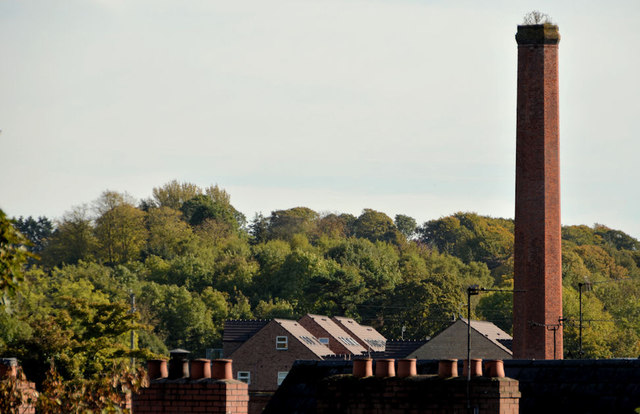
Image: © Albert Bridge Taken: 12 Oct 2012
Muckamore mill has long-since closed and been converted for residential and commercial use. The chimney remains but is neither listed nor on the official “at risk” register. This view is from the Seven Mile Straight. Image shows the view from the Sixmilewater footbridge.
Images are licensed for reuse under creativecommons.org/licenses/by-sa/2.0
Image Location
Latitude
54.702727
Longitude
-6.182866