Lines behind the Lampard Centre
Introduction
The photograph on this page of Lines behind the Lampard Centre by David Anstiss as part of the Geograph project.
The Geograph project started in 2005 with the aim of publishing, organising and preserving representative images for every square kilometre of Great Britain, Ireland and the Isle of Man.

There are currently over 7.5m images from over 14,400 individuals and you can help contribute to the project by visiting https://www.geograph.org.uk
Lines behind the Lampard Centre
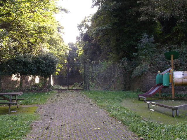
Image: © David Anstiss Taken: 12 Oct 2012
The brick walls behind the nursery garden (of the Lampard Centre), are part of the Napoleanoic defensive ditches that leads from Lower Gillingham, through Brompton and down to Fort Amherst, Chatham.
Images are licensed for reuse under creativecommons.org/licenses/by-sa/2.0
Image Location
Latitude
51.38912
Longitude
0.533605