Camborne
Introduction
The photograph on this page of Camborne by Burgess Von Thunen as part of the Geograph project.
The Geograph project started in 2005 with the aim of publishing, organising and preserving representative images for every square kilometre of Great Britain, Ireland and the Isle of Man.

There are currently over 7.5m images from over 14,400 individuals and you can help contribute to the project by visiting https://www.geograph.org.uk
Camborne
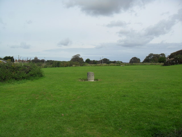
Image: © Burgess Von Thunen Taken: 20 Sep 2012
Locals say this land was too contaminated by tin mining activities that houses could not be built on it. It is now a park and is soon to become part of the route of a new bypass.
Images are licensed for reuse under creativecommons.org/licenses/by-sa/2.0
Image Location
Latitude
50.216543
Longitude
-5.283111