Rawhead Information Board
Introduction
The photograph on this page of Rawhead Information Board by Terry Hughes as part of the Geograph project.
The Geograph project started in 2005 with the aim of publishing, organising and preserving representative images for every square kilometre of Great Britain, Ireland and the Isle of Man.

There are currently over 7.5m images from over 14,400 individuals and you can help contribute to the project by visiting https://www.geograph.org.uk
Rawhead Information Board
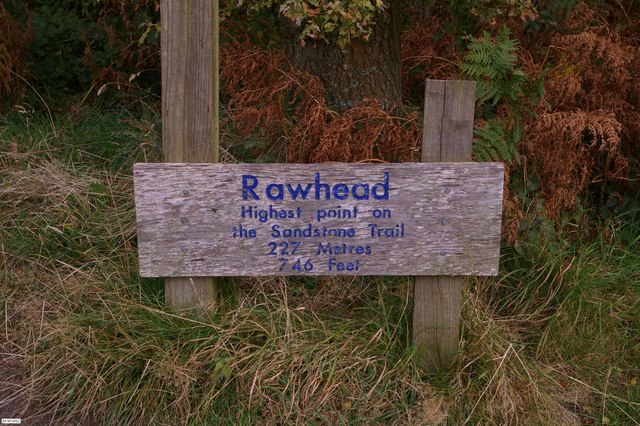
Image: © Terry Hughes Taken: 10 Oct 2012
My "walk for life" took me to new heights, literally, this week. As can be seen in the photo I am standing on the highest point of the Sandstone Trail. It's all down hill from here :-)
Images are licensed for reuse under creativecommons.org/licenses/by-sa/2.0
Image Location


Leaflet Map data © OpenStreetMap
Latitude
53.085433
Longitude
-2.736754