The River Lud under the iron bridge
Introduction
The photograph on this page of The River Lud under the iron bridge by Chris as part of the Geograph project.
The Geograph project started in 2005 with the aim of publishing, organising and preserving representative images for every square kilometre of Great Britain, Ireland and the Isle of Man.

There are currently over 7.5m images from over 14,400 individuals and you can help contribute to the project by visiting https://www.geograph.org.uk
The River Lud under the iron bridge
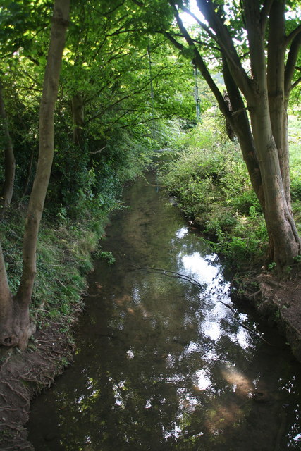
Image: © Chris Taken: 10 Oct 2012
The bridge is shown in Image, and the re-emergence of the Lud from the canal in Image This is a point about 100m from the start of the River, where it has settled into a steady flow. The muddy banks and remains of a rope on the tree bear witness to the antics of generations of children and their attempts to cross the little river by a means other than the bridge. An enduring and healthy pastime!
Images are licensed for reuse under creativecommons.org/licenses/by-sa/2.0
Image Location
Latitude
53.375599
Longitude
0.021098