Dreams of fishes past: footpath by the Monks' Dyke
Introduction
The photograph on this page of Dreams of fishes past: footpath by the Monks' Dyke by Chris as part of the Geograph project.
The Geograph project started in 2005 with the aim of publishing, organising and preserving representative images for every square kilometre of Great Britain, Ireland and the Isle of Man.

There are currently over 7.5m images from over 14,400 individuals and you can help contribute to the project by visiting https://www.geograph.org.uk
Dreams of fishes past: footpath by the Monks' Dyke
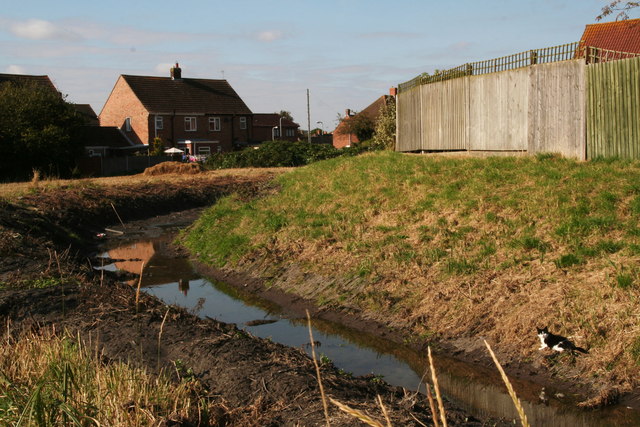
Image: © Chris Taken: 10 Oct 2012
The cat lives in hope! After recent clearing, you can see the Cistercian monks' dyke as it emerges from its culvert under the St.Bernard's Avenue estate, on its way from St.Helen's Spring in the Gatherums, Louth, to Louth Park Abbey. The monks cut out the channel to divert the water to their abbey. The clearing operation has revealed all the junk that has been thrown into the dyke.
Images are licensed for reuse under creativecommons.org/licenses/by-sa/2.0
Image Location
Latitude
53.367137
Longitude
0.016489