Bridleway to Fellingscott
Introduction
The photograph on this page of Bridleway to Fellingscott by Graham Horn as part of the Geograph project.
The Geograph project started in 2005 with the aim of publishing, organising and preserving representative images for every square kilometre of Great Britain, Ireland and the Isle of Man.

There are currently over 7.5m images from over 14,400 individuals and you can help contribute to the project by visiting https://www.geograph.org.uk
Bridleway to Fellingscott
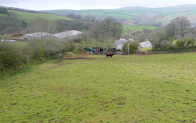
Image: © Graham Horn Taken: 8 Apr 2012
The bridleway has been diverted through the gate to the right of the telegraph pole, now avoiding the farm buildings. The thing to be potentially aware of in this field is a bull.
Images are licensed for reuse under creativecommons.org/licenses/by-sa/2.0
Image Location


Leaflet Map data © OpenStreetMap
Latitude
51.212667
Longitude
-3.752325