Green Lane approaching West Lane
Introduction
The photograph on this page of Green Lane approaching West Lane by Martin Dawes as part of the Geograph project.
The Geograph project started in 2005 with the aim of publishing, organising and preserving representative images for every square kilometre of Great Britain, Ireland and the Isle of Man.

There are currently over 7.5m images from over 14,400 individuals and you can help contribute to the project by visiting https://www.geograph.org.uk
Green Lane approaching West Lane
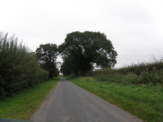
Image: © Martin Dawes Taken: 10 Oct 2012
This very minor road almost single lane curves round Big Ings Wood.The rooftop of Mowbray House is over the hedge on the right.
Images are licensed for reuse under creativecommons.org/licenses/by-sa/2.0
Image Location


Leaflet Map data © OpenStreetMap
Latitude
54.109554
Longitude
-1.149685