Stile on footpath from Higher Lane to Higher Axmouth
Introduction
The photograph on this page of Stile on footpath from Higher Lane to Higher Axmouth by David Smith as part of the Geograph project.
The Geograph project started in 2005 with the aim of publishing, organising and preserving representative images for every square kilometre of Great Britain, Ireland and the Isle of Man.

There are currently over 7.5m images from over 14,400 individuals and you can help contribute to the project by visiting https://www.geograph.org.uk
Stile on footpath from Higher Lane to Higher Axmouth
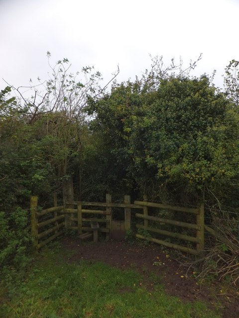
Image: © David Smith Taken: 10 Oct 2012
The footpath offers a link between two minor roads, and is therefore a dog-walkers' route. Dogs are catered for with the vertical shutter.
Images are licensed for reuse under creativecommons.org/licenses/by-sa/2.0
Image Location
Latitude
50.713634
Longitude
-3.039154