Dowlands House
Introduction
The photograph on this page of Dowlands House by David Smith as part of the Geograph project.
The Geograph project started in 2005 with the aim of publishing, organising and preserving representative images for every square kilometre of Great Britain, Ireland and the Isle of Man.

There are currently over 7.5m images from over 14,400 individuals and you can help contribute to the project by visiting https://www.geograph.org.uk
Dowlands House
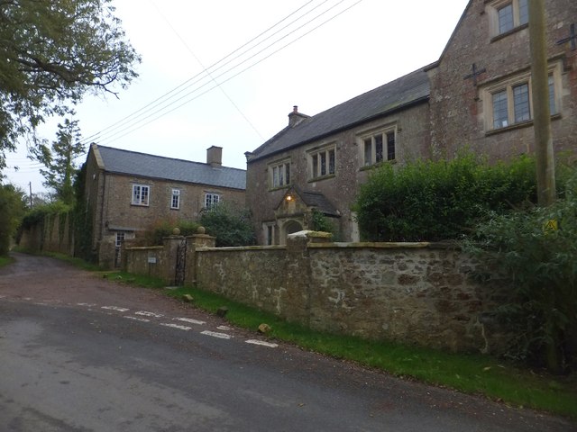
Image: © David Smith Taken: 10 Oct 2012
The hamlet of Dowlands gives its name to the extensive landslip (1839) between Seaton and Lyme Regis, also known as the Undercliff Nature Reserve. Local people in Dowlands charged visitors in the 1840s a fee for access across the fields to see the landslip, and set up businesses selling refreshments and souvenirs. The house give the appearance of being older than its construction date of mid-19th century.
Images are licensed for reuse under creativecommons.org/licenses/by-sa/2.0
Image Location
Latitude
50.70822
Longitude
-3.010568