Pendle Way beside Admergill Water
Introduction
The photograph on this page of Pendle Way beside Admergill Water by Chris Heaton as part of the Geograph project.
The Geograph project started in 2005 with the aim of publishing, organising and preserving representative images for every square kilometre of Great Britain, Ireland and the Isle of Man.

There are currently over 7.5m images from over 14,400 individuals and you can help contribute to the project by visiting https://www.geograph.org.uk
Pendle Way beside Admergill Water
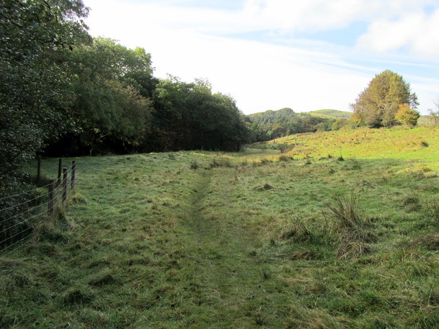
Image: © Chris Heaton Taken: 9 Oct 2012
The long distance footpath beside Admergill Water - which becomes Blacko Water further downstream. The watercourse is hidden by the line of trees.
Images are licensed for reuse under creativecommons.org/licenses/by-sa/2.0
Image Location
Latitude
53.874257
Longitude
-2.22704