Falklands Place
Introduction
The photograph on this page of Falklands Place by Nigel Mykura as part of the Geograph project.
The Geograph project started in 2005 with the aim of publishing, organising and preserving representative images for every square kilometre of Great Britain, Ireland and the Isle of Man.

There are currently over 7.5m images from over 14,400 individuals and you can help contribute to the project by visiting https://www.geograph.org.uk
Falklands Place
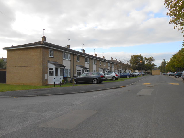
Image: © Nigel Mykura Taken: 14 Sep 2012
This road is part of the large residential estate associated with the Kineton Army Base, the base is the main munitions store for the army and used to be known as CAD which was presumably Central Ammunitions Depot.
Images are licensed for reuse under creativecommons.org/licenses/by-sa/2.0
Image Location
Latitude
52.168478
Longitude
-1.446838