Driveway to Bramcote Fields Farm
Introduction
The photograph on this page of Driveway to Bramcote Fields Farm by John Brightley as part of the Geograph project.
The Geograph project started in 2005 with the aim of publishing, organising and preserving representative images for every square kilometre of Great Britain, Ireland and the Isle of Man.

There are currently over 7.5m images from over 14,400 individuals and you can help contribute to the project by visiting https://www.geograph.org.uk
Driveway to Bramcote Fields Farm
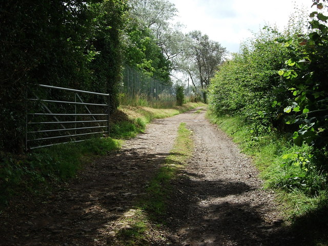
Image: © John Brightley Taken: 5 Aug 2012
View along the start of the long farm driveway, viewed from Lutterworth Road. The perimeter fence of Bramcote Barracks can be seen on the left. This is the start of a footpath that leads to Bulkington, though I don't think it is well walked or signposted.
Images are licensed for reuse under creativecommons.org/licenses/by-sa/2.0
Image Location
Latitude
52.496973
Longitude
-1.407522