Virginia creeper, Staddons Lea Lane, Torquay
Introduction
The photograph on this page of Virginia creeper, Staddons Lea Lane, Torquay by Derek Harper as part of the Geograph project.
The Geograph project started in 2005 with the aim of publishing, organising and preserving representative images for every square kilometre of Great Britain, Ireland and the Isle of Man.

There are currently over 7.5m images from over 14,400 individuals and you can help contribute to the project by visiting https://www.geograph.org.uk
Virginia creeper, Staddons Lea Lane, Torquay
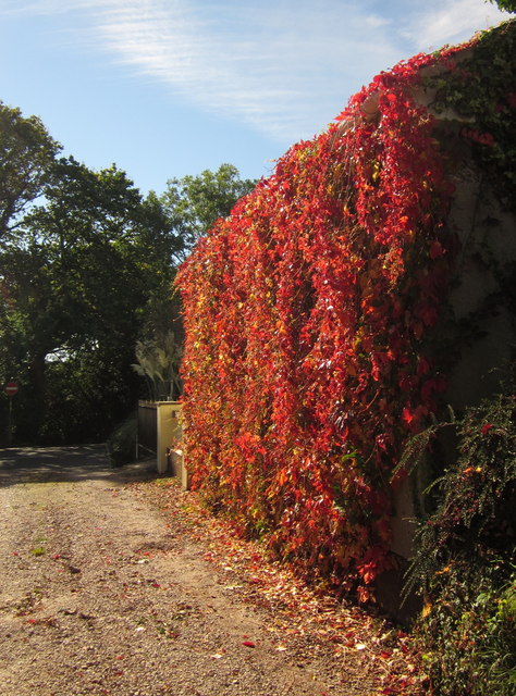
Image: © Derek Harper Taken: 6 Oct 2012
Staddons Lea Lane, an old track carrying footpath PN/168/2 between the housing estates of Chelston, reaches the ridge top at Nut Bush Lane. The line of the track continues down the other side of the ridge as Cockington Lane.
Images are licensed for reuse under creativecommons.org/licenses/by-sa/2.0
Image Location


Leaflet Map data © OpenStreetMap
Latitude
50.470547
Longitude
-3.562254