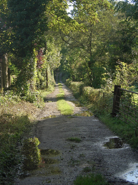
Track on Wales Coast Path diversion, Pyle
Introduction
The photograph on this page of Track on Wales Coast Path diversion, Pyle by eswales as part of the Geograph project.
The Geograph project started in 2005 with the aim of publishing, organising and preserving representative images for every square kilometre of Great Britain, Ireland and the Isle of Man.
There are currently over 7.5m images from over 14,400 individuals and you can help contribute to the project by visiting https://www.geograph.org.uk

Image: © eswales Taken: 6 Oct 2012
At the time of submission of this photograph, the track seen is one of a series of paths to be used by those walking the Wales Coast Path until the opening of a footbridge across the Afon Cynffig near its mouth and establishment of a path at Margam Moors enable a route on, or close, to the coast to be followed between Kenfig Burrows and Margam. The current, temporary section of the Coast Path between these places – identified as a ‘diversion’ on some maps - takes the walker a considerable distance inland and is approximately six and a half miles long. As well as taking in the track seen here, it passes along the adjoining track seen in Image

