Haytor granite tramway
Introduction
The photograph on this page of Haytor granite tramway by Graham Horn as part of the Geograph project.
The Geograph project started in 2005 with the aim of publishing, organising and preserving representative images for every square kilometre of Great Britain, Ireland and the Isle of Man.

There are currently over 7.5m images from over 14,400 individuals and you can help contribute to the project by visiting https://www.geograph.org.uk
Haytor granite tramway
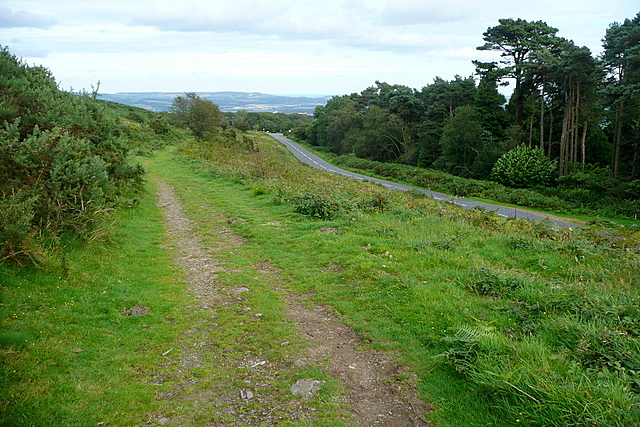
Image: © Graham Horn Taken: 31 Aug 2012
This is part of the Haytor tramway, that took granite from quarries around Haytor to the Stover Canal and River Teign from 1820 to 1858. The route is now used by the Templer Way, commemorating the Templer family, who managed the quarries and supervised the construction of the tramway. Here it runs parallel to the road from Haytor to Bovey Tracey.
Images are licensed for reuse under creativecommons.org/licenses/by-sa/2.0
Image Location
Latitude
50.583323
Longitude
-3.728006