Randal Crescent
Introduction
The photograph on this page of Randal Crescent by Ian Capper as part of the Geograph project.
The Geograph project started in 2005 with the aim of publishing, organising and preserving representative images for every square kilometre of Great Britain, Ireland and the Isle of Man.

There are currently over 7.5m images from over 14,400 individuals and you can help contribute to the project by visiting https://www.geograph.org.uk
Randal Crescent
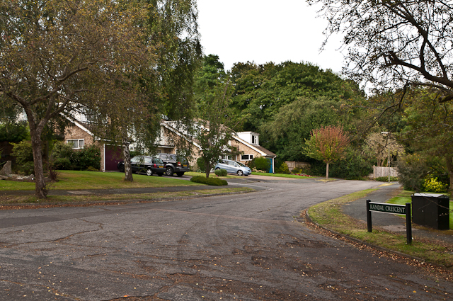
Image: © Ian Capper Taken: 1 Sep 2012
Despite its name, this short road off Priory Drive is not a crescent but a cul de sac. Were original plans for a longer road? The road name commemorates Randal Vogan, local benefactor (see Image).
Images are licensed for reuse under creativecommons.org/licenses/by-sa/2.0
Image Location


Leaflet Map data © OpenStreetMap
Latitude
51.227619
Longitude
-0.204784