Plough Road
Introduction
The photograph on this page of Plough Road by John Baker as part of the Geograph project.
The Geograph project started in 2005 with the aim of publishing, organising and preserving representative images for every square kilometre of Great Britain, Ireland and the Isle of Man.

There are currently over 7.5m images from over 14,400 individuals and you can help contribute to the project by visiting https://www.geograph.org.uk
Plough Road
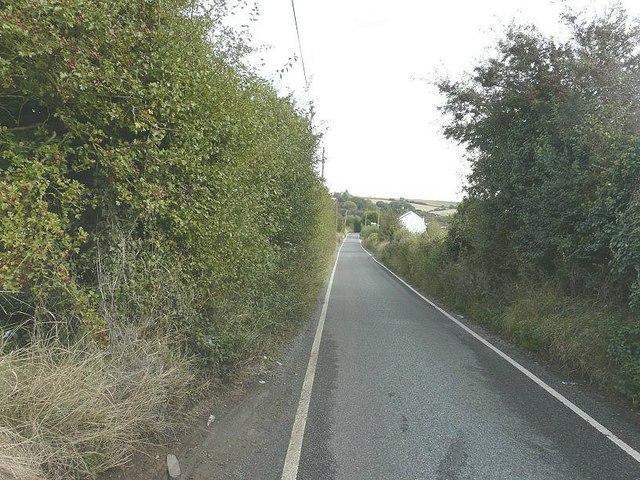
Image: © John Baker Taken: 7 Oct 2012
A narrow country road with passing places for vehicles. The white house in the distance is the end wall of 1 Connetts Cottages. This is one of four houses that form a terrace but each has a different name, although the numbering is 1 to 4.
Images are licensed for reuse under creativecommons.org/licenses/by-sa/2.0
Image Location
Latitude
51.413917
Longitude
0.859017