Mill End Farm fields
Introduction
The photograph on this page of Mill End Farm fields by Peter Turner as part of the Geograph project.
The Geograph project started in 2005 with the aim of publishing, organising and preserving representative images for every square kilometre of Great Britain, Ireland and the Isle of Man.

There are currently over 7.5m images from over 14,400 individuals and you can help contribute to the project by visiting https://www.geograph.org.uk
Mill End Farm fields
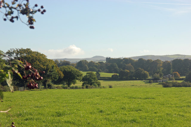
Image: © Peter Turner Taken: 9 Oct 2012
With a prospect including Gawsworth church tower and beyond the hump of Shutlingsloe on the skyline.
Images are licensed for reuse under creativecommons.org/licenses/by-sa/2.0
Image Location
Latitude
53.225285
Longitude
-2.182697