Effluent Treatment Plant
Introduction
The photograph on this page of Effluent Treatment Plant by Anne Burgess as part of the Geograph project.
The Geograph project started in 2005 with the aim of publishing, organising and preserving representative images for every square kilometre of Great Britain, Ireland and the Isle of Man.

There are currently over 7.5m images from over 14,400 individuals and you can help contribute to the project by visiting https://www.geograph.org.uk
Effluent Treatment Plant
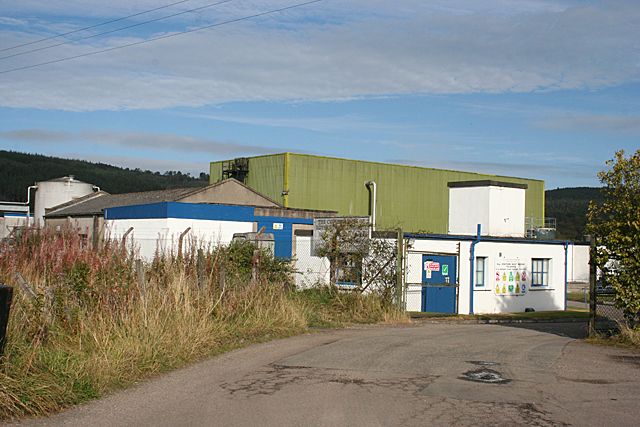
Image: © Anne Burgess Taken: 9 Oct 2012
The sign at the gate says that this effluent treatment plant is operated by the combination of Rothes distillers, who also operate the dark grains plant in the town. The map shows it as a sewage works, so there seem to be two related processes in operation here.
Images are licensed for reuse under creativecommons.org/licenses/by-sa/2.0
Image Location
Latitude
57.531681
Longitude
-3.1959