Old Ide Lane footbridge
Introduction
The photograph on this page of Old Ide Lane footbridge by Anthony Vosper as part of the Geograph project.
The Geograph project started in 2005 with the aim of publishing, organising and preserving representative images for every square kilometre of Great Britain, Ireland and the Isle of Man.

There are currently over 7.5m images from over 14,400 individuals and you can help contribute to the project by visiting https://www.geograph.org.uk
Old Ide Lane footbridge
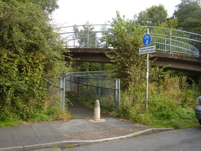
Image: © Anthony Vosper Taken: 7 Oct 2012
This long spiral footbridge crosses both the new and old A30.
Images are licensed for reuse under creativecommons.org/licenses/by-sa/2.0
Image Location


Leaflet Map data © OpenStreetMap
Latitude
50.705084
Longitude
-3.556583