Trowbridge Road houses, Bradford-on-Avon
Introduction
The photograph on this page of Trowbridge Road houses, Bradford-on-Avon by Jaggery as part of the Geograph project.
The Geograph project started in 2005 with the aim of publishing, organising and preserving representative images for every square kilometre of Great Britain, Ireland and the Isle of Man.

There are currently over 7.5m images from over 14,400 individuals and you can help contribute to the project by visiting https://www.geograph.org.uk
Trowbridge Road houses, Bradford-on-Avon
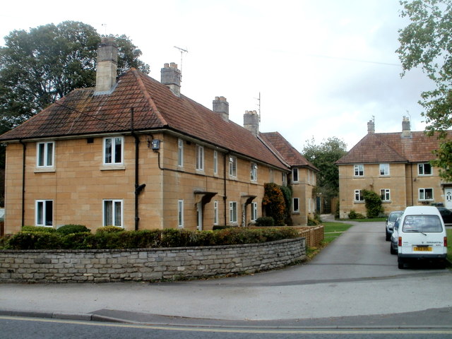
Image: © Jaggery Taken: 7 Oct 2011
These houses are arranged along one side of a grassy open space on the NE side of Trowbridge Road. Other houses occupy two of the other sides, forming a pattern similar to three sides of a rectangle.
Images are licensed for reuse under creativecommons.org/licenses/by-sa/2.0
Image Location
Latitude
51.341617
Longitude
-2.245877