Bredhurst Hurst
Introduction
The photograph on this page of Bredhurst Hurst by Penny Mayes as part of the Geograph project.
The Geograph project started in 2005 with the aim of publishing, organising and preserving representative images for every square kilometre of Great Britain, Ireland and the Isle of Man.

There are currently over 7.5m images from over 14,400 individuals and you can help contribute to the project by visiting https://www.geograph.org.uk
Bredhurst Hurst
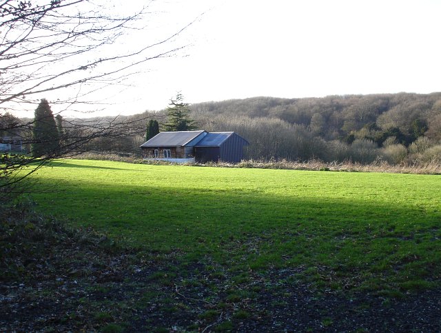
Image: © Penny Mayes Taken: 20 Jan 2007
I assume the name means Broadwood Wood - Bredhurst is a village beyond the wood. The (mainly) broadleaf woodland is a continuation of Monkdown Wood and covers a ridge on the dip-slope of the North Downs. Viewed here from Scragged Oak Road which runs along an adjacent ridge with a steep-sided dry valley in between.
Images are licensed for reuse under creativecommons.org/licenses/by-sa/2.0
Image Location


Leaflet Map data © OpenStreetMap
Latitude
51.324707
Longitude
0.5879