Ardrossan Industrial Estate
Introduction
The photograph on this page of Ardrossan Industrial Estate by Anne Burgess as part of the Geograph project.
The Geograph project started in 2005 with the aim of publishing, organising and preserving representative images for every square kilometre of Great Britain, Ireland and the Isle of Man.

There are currently over 7.5m images from over 14,400 individuals and you can help contribute to the project by visiting https://www.geograph.org.uk
Ardrossan Industrial Estate
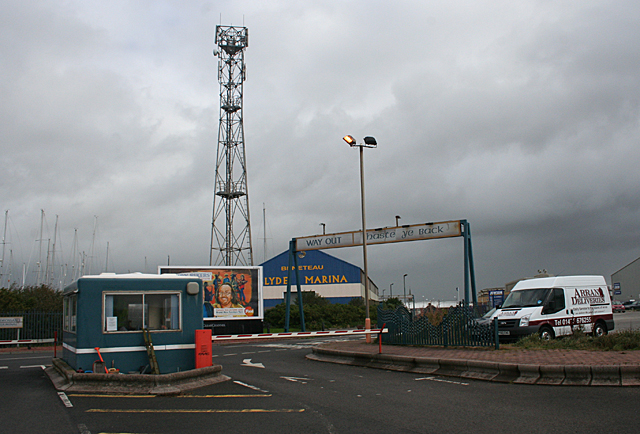
Image: © Anne Burgess Taken: 14 Sep 2012
The land south of the harbour, probably originally part of the harbour, is now occupied by an industrial estate. The access to the ferry terminal runs through the middle of it. The blue hut in the foreground is at the entrance to the car park, for which a charge is made by the local council.
Images are licensed for reuse under creativecommons.org/licenses/by-sa/2.0
Image Location
Latitude
55.638316
Longitude
-4.82227