Shiphay Park
Introduction
The photograph on this page of Shiphay Park by Derek Harper as part of the Geograph project.
The Geograph project started in 2005 with the aim of publishing, organising and preserving representative images for every square kilometre of Great Britain, Ireland and the Isle of Man.

There are currently over 7.5m images from over 14,400 individuals and you can help contribute to the project by visiting https://www.geograph.org.uk
Shiphay Park
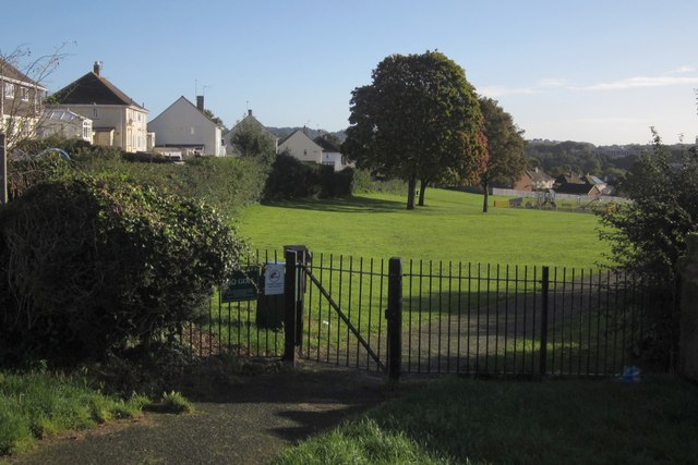
Image: © Derek Harper Taken: 4 Oct 2012
From the western, upper, end of the park, where a path leads in from the junction of Torridge (left) and Tamar Avenues. The nearest tree is the one shown in Image
Images are licensed for reuse under creativecommons.org/licenses/by-sa/2.0
Image Location
Latitude
50.477759
Longitude
-3.567706