National Cycle Route 4 by Tondu
Introduction
The photograph on this page of National Cycle Route 4 by Tondu by eswales as part of the Geograph project.
The Geograph project started in 2005 with the aim of publishing, organising and preserving representative images for every square kilometre of Great Britain, Ireland and the Isle of Man.

There are currently over 7.5m images from over 14,400 individuals and you can help contribute to the project by visiting https://www.geograph.org.uk
National Cycle Route 4 by Tondu
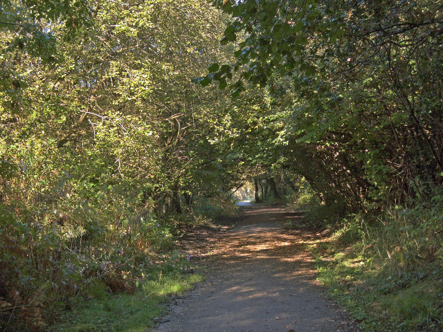
Image: © eswales Taken: 6 Oct 2012
A view of the long distance cycle route near the eastern end of the pleasant, often wooded, off-road stretch of about four miles between Tondu and Kenfig Hill.
Images are licensed for reuse under creativecommons.org/licenses/by-sa/2.0
Image Location
Latitude
51.546723
Longitude
-3.602738