Northland House, Belfast (3)
Introduction
The photograph on this page of Northland House, Belfast (3) by Albert Bridge as part of the Geograph project.
The Geograph project started in 2005 with the aim of publishing, organising and preserving representative images for every square kilometre of Great Britain, Ireland and the Isle of Man.

There are currently over 7.5m images from over 14,400 individuals and you can help contribute to the project by visiting https://www.geograph.org.uk
Northland House, Belfast (3)
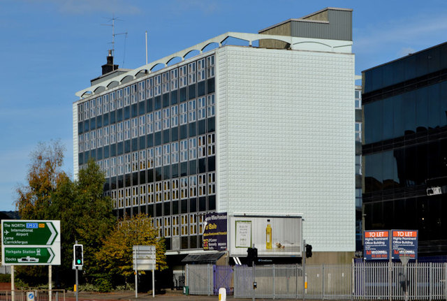
Image: © Albert Bridge Taken: 7 Oct 2012
See Image (April 2012). The building remains with a “for sale” sign. Before NI Water it was occupied by the DoE Water Service and, before that, it was a social security office. From what I can see it’s built on the site of a building which, around the time if WW1, was a Board of Trade labour exchange.
Images are licensed for reuse under creativecommons.org/licenses/by-sa/2.0
Image Location
Latitude
54.605301
Longitude
-5.929049