Water monitoring station at Lukesland
Introduction
The photograph on this page of Water monitoring station at Lukesland by Graham Horn as part of the Geograph project.
The Geograph project started in 2005 with the aim of publishing, organising and preserving representative images for every square kilometre of Great Britain, Ireland and the Isle of Man.

There are currently over 7.5m images from over 14,400 individuals and you can help contribute to the project by visiting https://www.geograph.org.uk
Water monitoring station at Lukesland
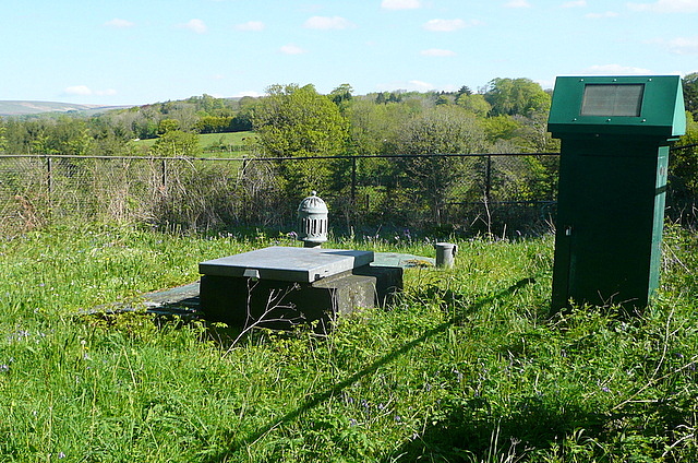
Image: © Graham Horn Taken: 13 May 2012
I don't know exactly what is going on here, but the site is operated by a water company and there is presumably machinery or telemetry inside that green, solar powered box.
Images are licensed for reuse under creativecommons.org/licenses/by-sa/2.0
Image Location
Latitude
50.402409
Longitude
-3.914908