Picnic table, Barton Downs
Introduction
The photograph on this page of Picnic table, Barton Downs by Derek Harper as part of the Geograph project.
The Geograph project started in 2005 with the aim of publishing, organising and preserving representative images for every square kilometre of Great Britain, Ireland and the Isle of Man.

There are currently over 7.5m images from over 14,400 individuals and you can help contribute to the project by visiting https://www.geograph.org.uk
Picnic table, Barton Downs
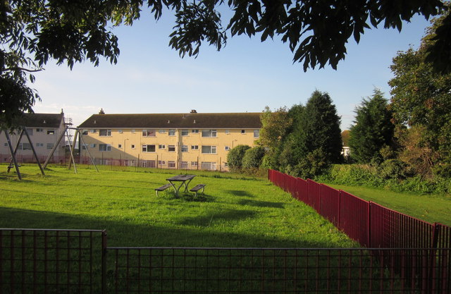
Image: © Derek Harper Taken: 3 Oct 2012
At the corner of the recently refurbished playground at the southwest corner of the recreation ground.
Images are licensed for reuse under creativecommons.org/licenses/by-sa/2.0
Image Location
Latitude
50.486085
Longitude
-3.536828