Houses on Chapel St
Introduction
The photograph on this page of Houses on Chapel St by Nigel Mykura as part of the Geograph project.
The Geograph project started in 2005 with the aim of publishing, organising and preserving representative images for every square kilometre of Great Britain, Ireland and the Isle of Man.

There are currently over 7.5m images from over 14,400 individuals and you can help contribute to the project by visiting https://www.geograph.org.uk
Houses on Chapel St
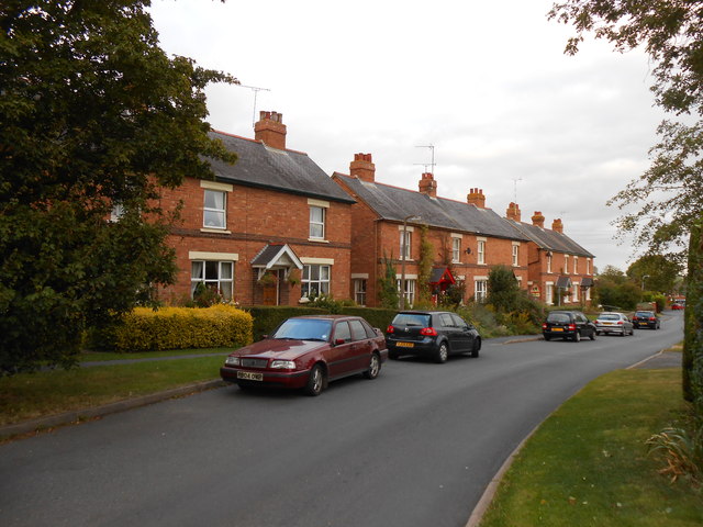
Image: © Nigel Mykura Taken: 14 Sep 2012
These Victorian or Edwardian red brick terraced houses are on the road running east from the Gaydon Rd the B4451 in the centre of the villages.
Images are licensed for reuse under creativecommons.org/licenses/by-sa/2.0
Image Location
Latitude
52.216057
Longitude
-1.43205