Manor Farm
Introduction
The photograph on this page of Manor Farm by Nigel Mykura as part of the Geograph project.
The Geograph project started in 2005 with the aim of publishing, organising and preserving representative images for every square kilometre of Great Britain, Ireland and the Isle of Man.

There are currently over 7.5m images from over 14,400 individuals and you can help contribute to the project by visiting https://www.geograph.org.uk
Manor Farm
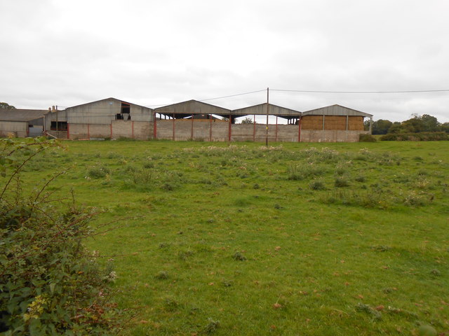
Image: © Nigel Mykura Taken: 16 Sep 2012
This four-bay barn is on Manor Farm close to the minor road that runs from Nettleton Green to the Fosse Way about a kilometre distant. This road would have been important in times gone by as it runs the mill on the Broadmead Brook just on the other eastern side of the Fosse Way. The land is mainly pasture fields.
Images are licensed for reuse under creativecommons.org/licenses/by-sa/2.0
Image Location
Latitude
51.503348
Longitude
-2.259137