Aberdeen suburban junction
Introduction
The photograph on this page of Aberdeen suburban junction by Bill Harrison as part of the Geograph project.
The Geograph project started in 2005 with the aim of publishing, organising and preserving representative images for every square kilometre of Great Britain, Ireland and the Isle of Man.

There are currently over 7.5m images from over 14,400 individuals and you can help contribute to the project by visiting https://www.geograph.org.uk
Aberdeen suburban junction
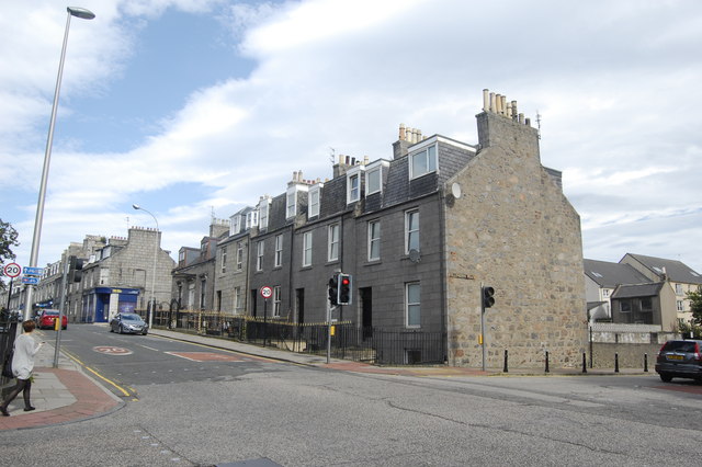
Image: © Bill Harrison Taken: 1 Sep 2012
Crown Street meets Wellington Place. The granite terraces are typical of the area south of Union Street.
Images are licensed for reuse under creativecommons.org/licenses/by-sa/2.0
Image Location
Latitude
57.140988
Longitude
-2.100942