House between Uley and Dursley
Introduction
The photograph on this page of House between Uley and Dursley by David Gruar as part of the Geograph project.
The Geograph project started in 2005 with the aim of publishing, organising and preserving representative images for every square kilometre of Great Britain, Ireland and the Isle of Man.

There are currently over 7.5m images from over 14,400 individuals and you can help contribute to the project by visiting https://www.geograph.org.uk
House between Uley and Dursley
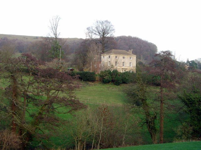
Image: © David Gruar Taken: 20 Jan 2007
One of many large houses in this prosperous part of the Cotswolds. This one probably dates from the 18th century.
Images are licensed for reuse under creativecommons.org/licenses/by-sa/2.0
Image Location


Leaflet Map data © OpenStreetMap
Latitude
51.67851
Longitude
-2.32681