Dwellings in Charmouth
Introduction
The photograph on this page of Dwellings in Charmouth by Derek Harper as part of the Geograph project.
The Geograph project started in 2005 with the aim of publishing, organising and preserving representative images for every square kilometre of Great Britain, Ireland and the Isle of Man.

There are currently over 7.5m images from over 14,400 individuals and you can help contribute to the project by visiting https://www.geograph.org.uk
Dwellings in Charmouth
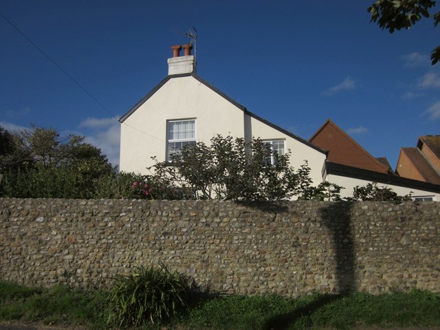
Image: © Derek Harper Taken: 29 Sep 2012
At the junction of River View and Lower Sea Lane, a spot at which the coast path and the Monarch's Way divide - or join, depending on your direction of travel. In the background are flats in Little Tea Gardens.
Images are licensed for reuse under creativecommons.org/licenses/by-sa/2.0
Image Location
Latitude
50.73502
Longitude
-2.900756